Puerto Rico has some of the best hiking trails for outdoor lovers.
You can find a range of trails from challenging routes hidden in the mountains to easy walking trails by the coast.
I’ve lived in Puerto Rico for 14 years and have completed all of the most beautiful hikes on the island.
In this article, I will cover the 20 best hiking trails in Puerto Rico:
1. Toro Negro State Forest
This 7,000-acre forest is big enough to cover six different municipalities in Puerto Rico.
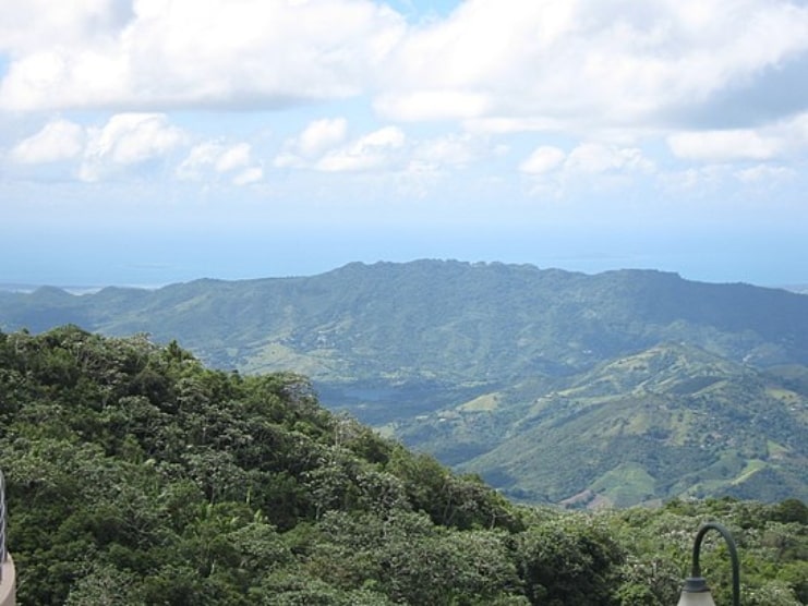
You’ll find as sorts of things in Toro Negro: Four types of forests, three highest peaks, two natural swimming pools, nine rivers, and a handful of waterfalls.
Below is a video showing this hiking trail:
This forest is great for beginners to hike on.
This forest is 2 hours away from San Juan.
Below is a Google Map showing the location of this hiking trail:
Learn more in our guide to Toro Negro State Forest.
2. Paseo Del Morro
Paseo Del Morro is an easy trail to complete and is found in Old San Juan.
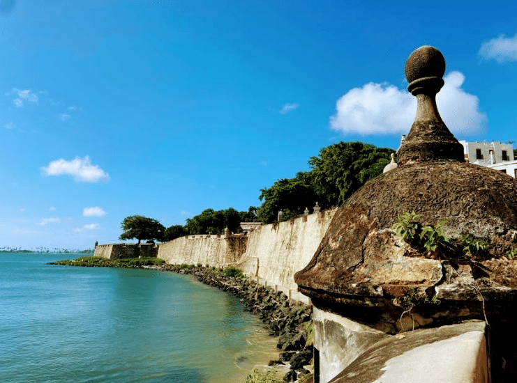
This is a popular trail for mountain biking, running, and hiking.
Below is a video showing this hiking trail:
This trail takes an average of 30 minutes to complete.
Below is a Google Map showing the location of this hiking trail:
3. Vereda La Mina
Vereda La Mina, located in El Yunque National Forest, is considered a fairly challenging route to hike on.
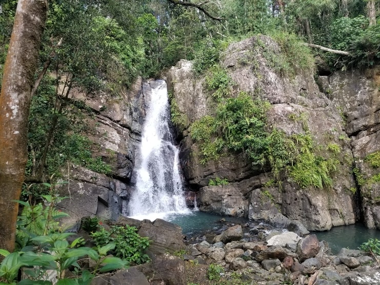
This is a popular area for hiking, so it’s likely you’ll find other hikers exploring the beauty of this forest.
Below is a video showing this hiking trail:
It’s around one mile long and takes on average 1 hour to complete.
El Yunque rainforest is 50 minutes away from San Juan.
Below is a Google Map showing the location of this hiking trail:
4. Mount Britton Tower Trail
Mount Britton Tower trail is a trail located in El Yunque National Rainforest.
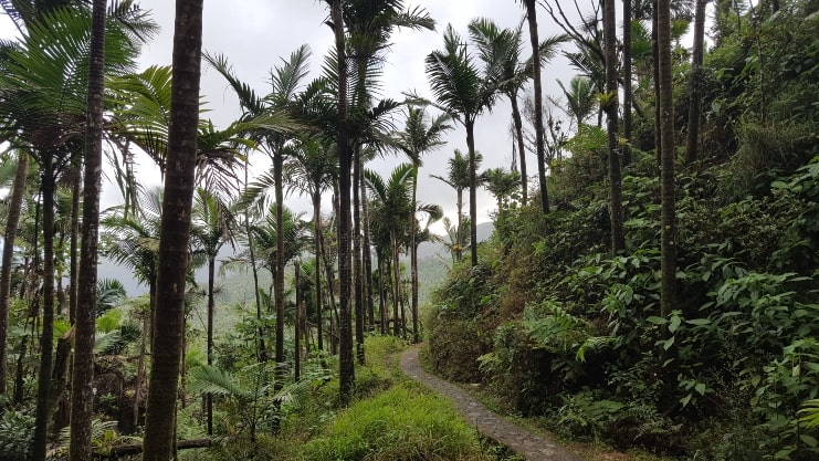
It’s a moderate challenge to complete and takes about 1 hour to complete.
It’s about a mile and a half long with a 650 ft elevation gain.
Below is a video showing this hiking trail:
This rainforest is 50 minutes away from San Juan.
Below is a Google Map showing the location of this hiking trail:
5. Cambalache State Forest
The Cambalache trail is in the Cambalache State Forest located in Arecibo, Puerto Rico.
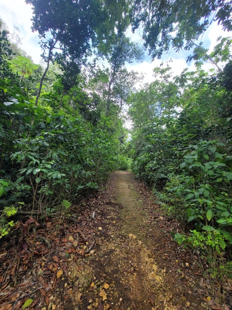
This is a great hiking trail for beginners. It takes an average of 2 hours and 20 minutes to complete and is considerably popular for camping, hiking, and birding.
It’s around five miles long with a high elevation gain of around 850 feet.
Below is a video showing this hiking trail:
This forest is 1 hour and 6 minutes away from San Juan.
Below is a Google Map showing the location of this hiking trail:
6. Pico Rodadero Trail
Pico Rodadero trail is located in Yauco.
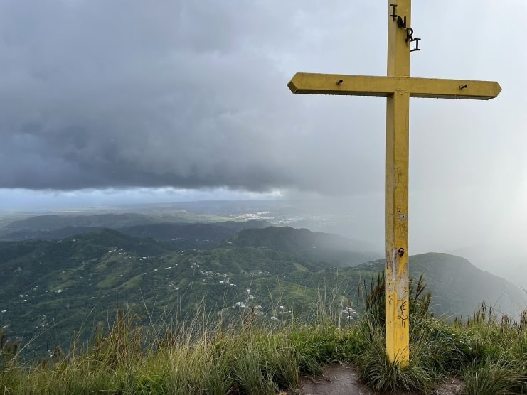
This is a great trail for beginners, it’s an easy route and only takes 35 minutes to complete.
It’s less than half a mile long with a 300-foot elevation gain.
Below is a video showing this hiking trail:
This trail is 2 hours and 20 minutes away from San Juan.
Below is a Google Map showing the location of this hiking trail:
7. Charco Azul Trail
Charco Azul trail is located in the Carite State Forest.
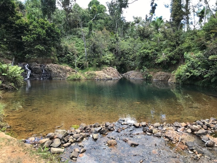
This is an easy route for beginners and takes 15-20 minutes to complete.
It’s less than a mile long with a 30-foot elevation gain.
At the end of the trail, there’s a fun swimming hole for you to enjoy!
Below is a video showing this hiking trail:
This forest is 1 hour and 13 minutes away from San Juan.
Below is a Google Map showing the location of this hiking trail:
8. Fuerte Trail
Fuerte trail is located in the Guanica State Forest.
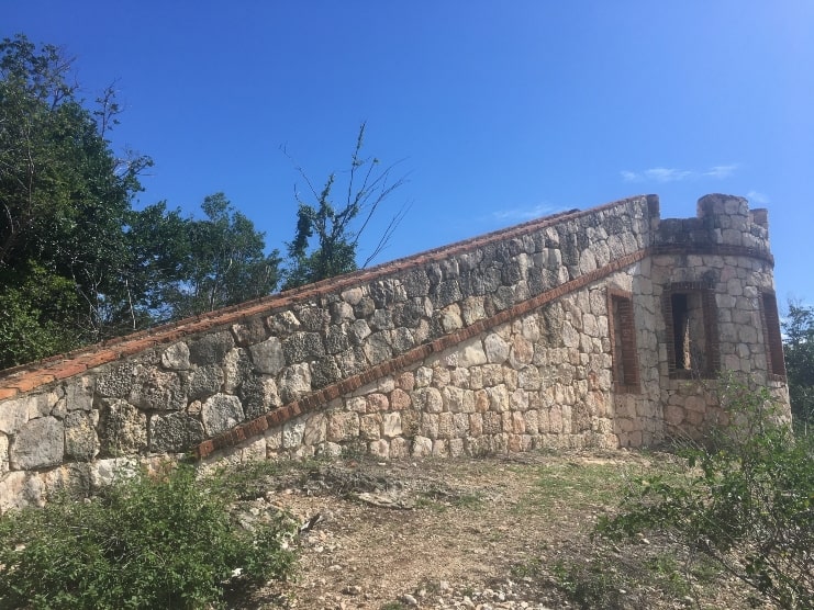
This is a fairly easy route for beginners and It takes 3 hours to complete.
It’s around 6 miles long with a 1,000-foot elevation gain.
Below is a video showing this hiking trail:
This forest is 2 hours and 11 minutes away from San Juan.
This trail is located very close to La Parguera Bioluminescent Bay.
Below is a Google Map showing the location of this hiking trail:
9. La Zanja Trail
La Zanja trail is part of the San Juan Nature Reserve in Las Cabezas de San Juan in Fajardo.
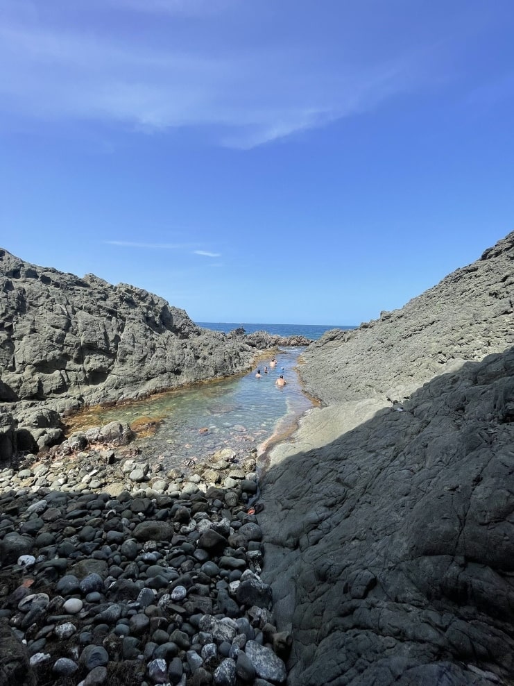
This is a moderate route to take, it takes about 1 hour and 30 minutes to complete.
It’s 3.5 miles long and has a very small elevation gain.
Below is a video showing this hiking trail:
This trail is 1 hour and 30 minutes away from San Juan.
This area is very close to Laguna Grande Bioluminescent Bay.
Below is a Google Map showing the location of this hiking trail:
10. Angelito Trail
Angelito trail is another trail you will find in El Yunque.
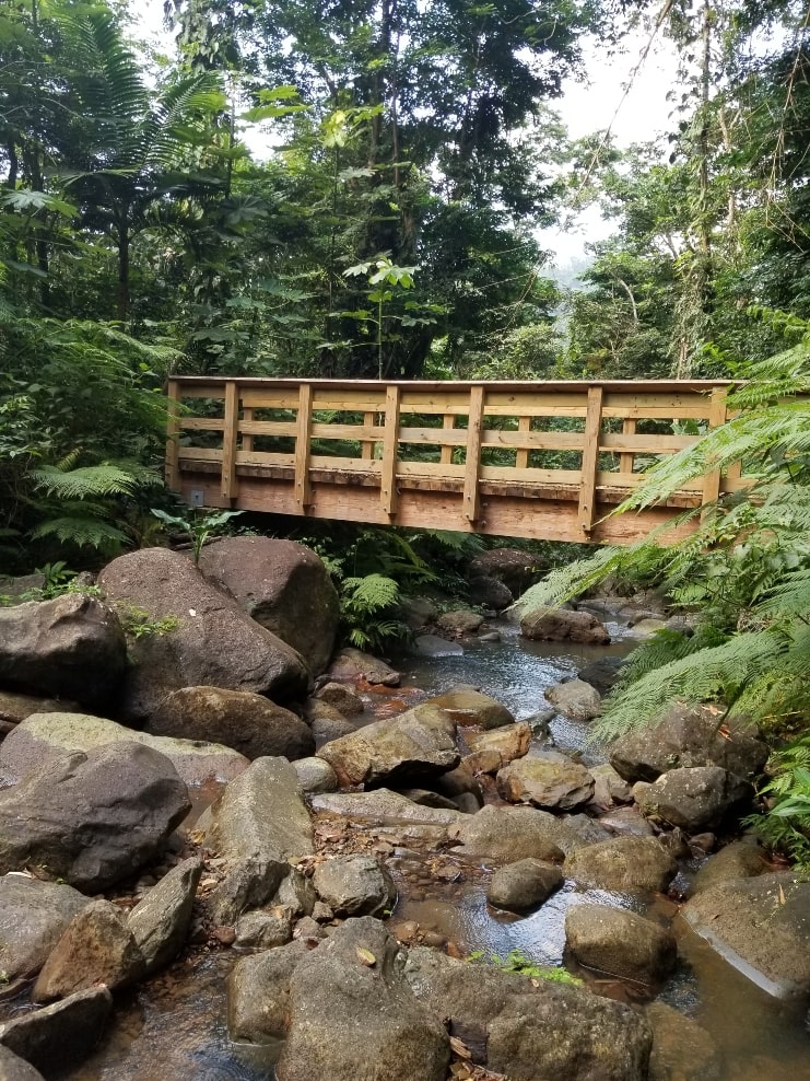
This is considered an easy route for beginners. It takes 30 minutes to complete and is very popular for hiking.
It’s less than a mile long with a 127-foot elevation gain.
Below is a video showing this hiking trail:
El Yunque is 50 minutes away from San Juan.
Below is a Google Map showing the location of this hiking trail:
11. Gozalandia Waterfall Trail
Gozalandia Waterfall is located in San Sebastian.
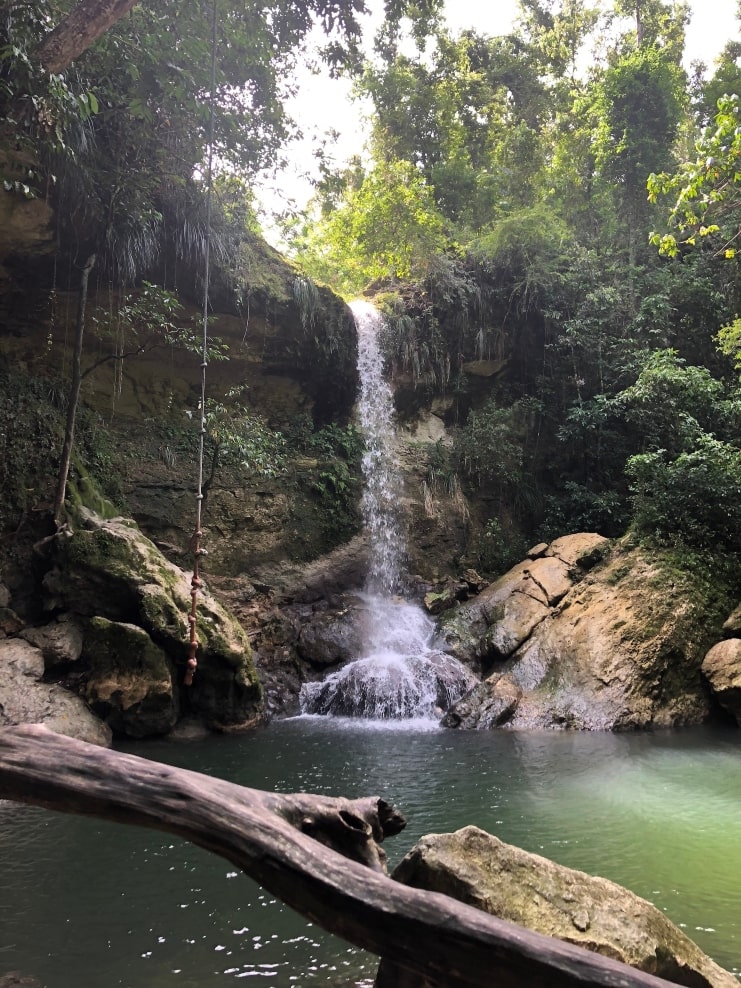
This is an easy route for beginners as it only takes 20 minutes to complete. You’ll also have two lovely swimming holes to enjoy after the hike!
It’s about half a mile long with a 144-foot elevation gain.
Below is a video showing this hiking trail:
This hiking trail is 1 hour and 55 minutes away from San Juan, and close to the to the town of Rincon.
Below is a Google Map showing the location of this hiking trail:
12. Vereda La Coca Trail
The Vereda La Coca Trail is a hiking trail located in El Yunque.
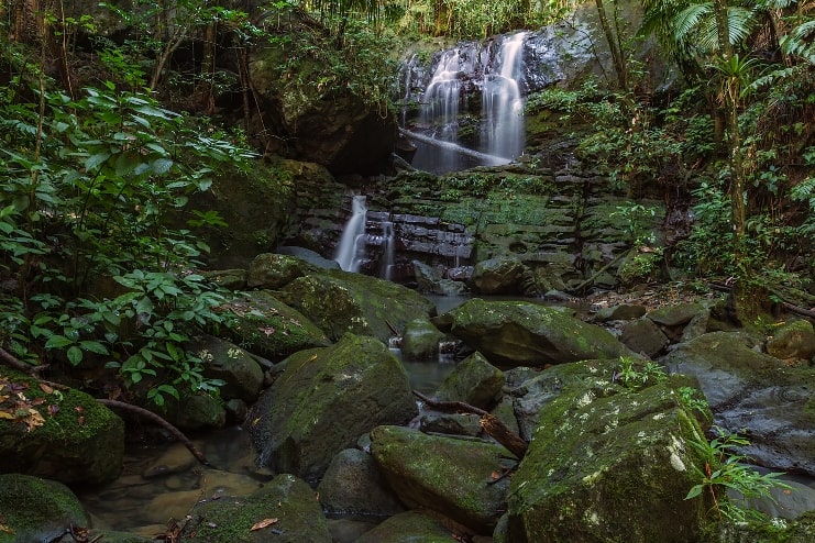
This is considered a hard & challenging route and takes about 2 hours to complete. It’s just over three miles long with a 974-foot elevation gain.
Below is a video showing this hiking trail:
El Yunque is 50 minutes away from San Juan.
Below is a Google Map showing the location of this hiking trail:
13. El Toro Trail
El Toro Trail is another trail found in El Yunque.
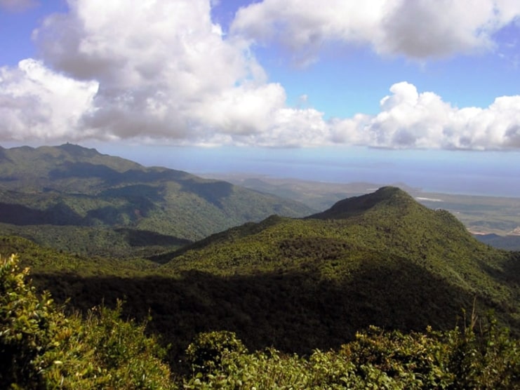
This is another considerably hard route to take. It takes 2 hours and 50 minutes to complete.
It’s almost five miles long with a 1,325-foot elevation gain.
Below is a video showing this hiking trail:
El Yunque is 50 minutes away from San Juan.
Below is a Google Map showing the location of this hiking trail:
14. Árbol Solitario
El Árbol Solitario trail is located in Salinas, which is nearby the city of Ponce.
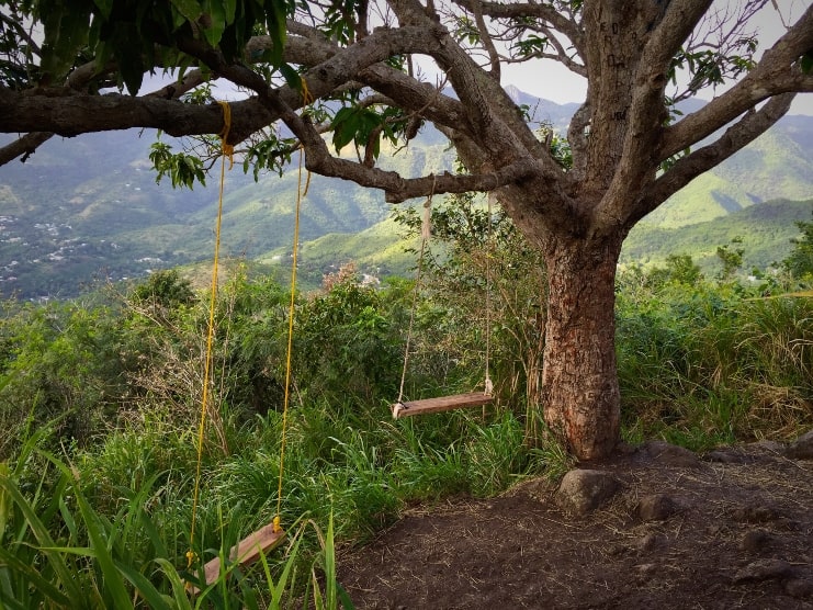
This is considered a hard and challenging trail. It will take 2 hours and 30 minutes to complete.
It’s around 3 miles long with an almost 1,400-foot elevation gain.
Below is a video showing this hiking trail:
This trail is about 1 hour and 15 minutes away from San Juan.
Below is a Google Map showing the location of this hiking trail:
15. El Yunque Trail
El Yunque Trail, located in El Yunque National Forest, is a famous hiking trail in Puerto Rico.
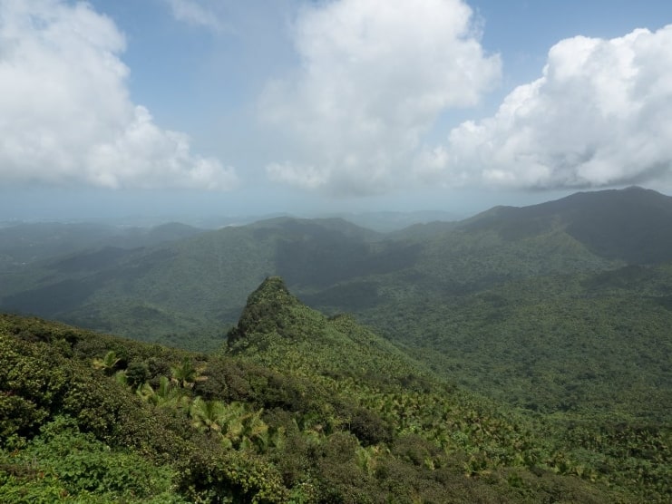
This is great for beginners looking to challenge themselves. It takes 3 hours and 25 minutes to complete this route.
It’s around five and a half miles long with a 1,748-foot elevation gain.
Below is a video showing this hiking trail:
El Yunque is 50 minutes away from San Juan.
Below is a Google Map showing the location of this hiking trail:
16. Charco El Pilón Trail
Charco El Pilón trail is located in San German.
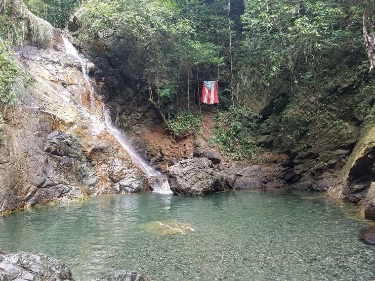
It’s a great trail for beginners. It takes 1 hour and 20 minutes to complete this route.
This is around two and a half miles long route with a 528-foot elevation gain.
Below is a video showing this hiking trail:
It will take 2 hours and 15 minutes to get there from San Juan.
Below is a Google Map showing the location of this hiking trail:
17. Guánica Meseta Trail
The Meseta trail is located in Guánica’s State Forest.
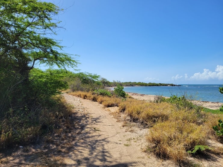
This is a moderate route to take. It takes about 2 hours and 30 minutes to complete.
It’s almost seven miles long with a 518-foot elevation gain.
Below is a video showing this hiking trail:
This trail is 2 hours and 10 minutes away from San Juan.
Below is a Google Map showing the location of this hiking trail:
18. Monte Pirata Trail
The Monte Pirate trail is located in Cabo Rojo.
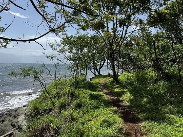
This is a moderate route to take. It takes 3 hours and 20 minutes to complete.
It’s a little over eight miles long with a 767-foot elevation gain.
Below is a video showing this hiking trail:
This trail is 2 hours and 30 minutes away from San Juan.
Below is a Google Map showing the location of this hiking trail:
19. Cabo Rojo Lighthouse Trail
This lighthouse trail is also located in Cabo Rojo.
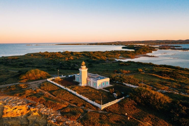
This is an easy route to take. It takes about 30 minutes to complete.
It’s about a mile and a half long with a 75-foot elevation gain.
Below is a video showing this hiking trail:
This trail is 2 hours and 50 minutes away from San Juan.
Read up on this historic area in our article Cabo Rojo Lighthouse – All You Need To Know.
Below is a Google Map showing the location of this hiking trail:
20. Charco Preito Trail
Charco Prieto trail is a waterfall trail located in Bayamon.
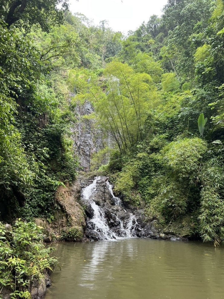
It’s a moderate but short route to take. It takes 35 minutes to complete and is about a mile long with an 285-foot elevation gain.
Below is a video showing this hiking trail:
It’s a 50-minute drive to get to Charco Prieto waterfall from San Juan. Same driving distance to El Yunque.
Below is a Google Map showing the location of this hiking trail:
FAQ section
Does Puerto Rico have good hiking?
Yes! Puerto Rico has over 100 hiking trails to explore. I've listed 20 of the best ones here in this article.
Is it safe to hike in Puerto Rico?
Hiking in Puerto Rico is one of the safest activities to do. You'll encounter other hikers and nature lovers when visiting these hiking trails.
Final thoughts
If you’re someone who loves to hike, then you must visit Puerto Rico.
Most of the trails that I mentioned in this article can be found in El Yunque National Forest.
If you don’t have a lot of time, then I recommend going to El Yunque or Paseo Del Morro for a quick half-day hike.
If you are looking for other things to do, then check out our article 45 Best Things To Do In Puerto Rico.
You may also like our article 15 Best Outdoor Activities In Puerto Rico.

