Quick answer
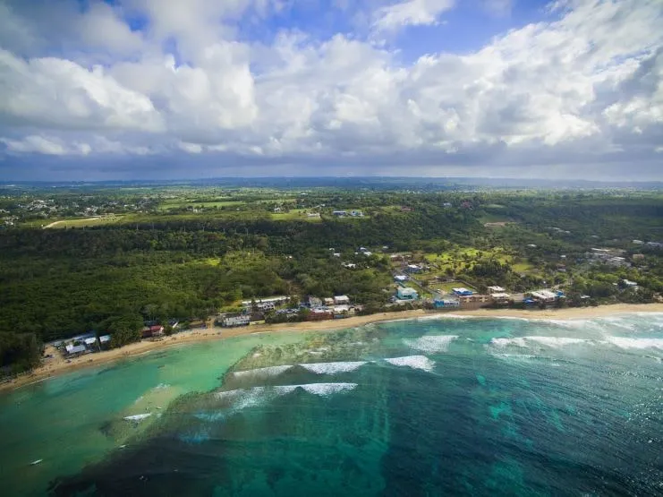
Isabela is a northwest-coast town with surf beaches and, inland, hills that top 1,000 feet. Beyond the beaches, its land takes in rivers, caves, cliffs, coastal flats and mangrove forest, which makes it an easy base for both a surf trip and inland exploring.
- Founded on May 21, 1819, in the area the Taíno called Guajataca.
- Aguadilla, home to the area’s airport, is the next town to the west.
Isabela is the surf town in Puerto Rico’s northwest corner. Jobos Beach is about 12 minutes by car from Aguadilla’s Rafael Hernández Airport (BQN) and roughly two hours from the San Juan airport (SJU). The coast is built around surf, with a dozen beaches and the lively scene at Jobos. Inland, the Guajataca State Forest has a cave and the longest trail network of any state forest on the island.
Isabela at a glance
| Where | Northwest coast: Aguadilla and Moca to the west, Quebradillas to the east, San Sebastián to the south |
| People | 42,943 at the 2020 Census; the Census Bureau put it at 42,938 in July 2025, almost no change |
| Land area | 55.31 square miles |
| Founded | May 21, 1819, and named after Queen Isabella I of Castile |
| Nearest airport | BQN in Aguadilla: about 8 km (12 min) to Jobos, 15 km (22 min) to the town plaza |
| From SJU | About 126 km (1 h 49 min) to the town and 132 km (just under 2 h) to Jobos, with no traffic |
| Nicknames | Jardín del Noroeste (Garden of the Northwest) and Pueblo de los Quesitos de Hoja |
Drive times are free-flow estimates from OpenStreetMap routing, so add time for traffic, especially getting out of the San Juan metro area.
Where is Isabela?
Short answer: Isabela is on the coast in Puerto Rico’s northwest corner, between Aguadilla to the west and Quebradillas to the east. By road the town is about 126 km (78 miles) from the San Juan airport and about 15 km (9 miles) from Aguadilla’s BQN airport.
Isabela covers a wide stretch of the northwest. The town center, or pueblo, sits back from the sea; Jobos and the beach strip are about 7 km (11 minutes) away by road. The municipio is part of the Aguadilla metro area, and the airport, the Aguadilla beaches and Rincón are all a short drive west and south.
Long before the town, this was the Taíno region of Guajataca, ruled in the early 1500s by the cacique Mabodamaca. The first Spanish settlement grew around a hermitage farther from the sea. Its residents later won permission to move closer to the coast, and the new town was founded on May 21, 1819. Work on its church started that same year and ended in 1824.
Getting to Isabela
- Fly into BQN. Rafael Hernández Airport occupies the old Ramey Air Force Base in Aguadilla. From there Jobos is about 12 minutes away, the closest arrival point by far.
- Fly into SJU and drive. Plan on about two hours west on a clear road. A rental car is the practical choice, because beaches, the forest and restaurants are spread out; see our guide to renting a car in Puerto Rico.
- Ride apps. Lyft has operated across Puerto Rico since July 8, 2025. Outside the metro area, though, a pickup is not something to count on for a return trip. Our Uber and Lyft guide has the details.
- Next stops. The Punta Higüero lighthouse in Rincón is about 47 minutes from Jobos by car. Aguadilla’s beaches are closer still, and Mayagüez, the west coast’s main city, is about 50 minutes south.
Beaches and surf
Isabela’s reputation rests on its shoreline. A Primera Hora count put the number of beaches at 12. These are the names you will hear most:
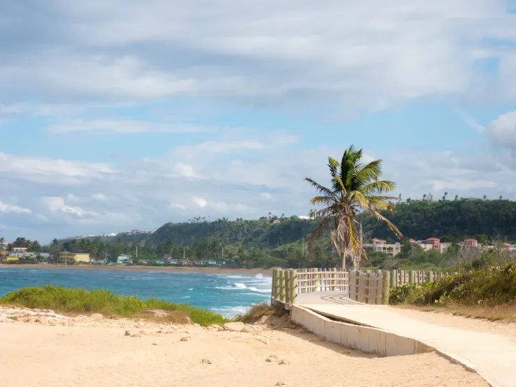
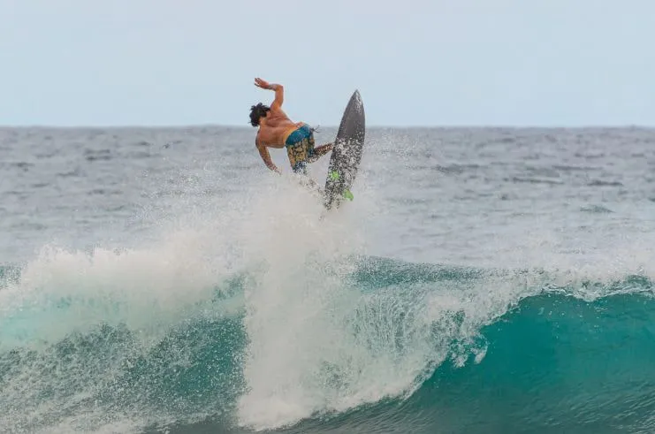
- Jobos. The social center of the coast, on PR-466, known for surf, windsurfing and a lively party scene. It hosted the Rip Curl Pro world-tour event in February 2013. Since early 2021 signs at the beach warn about its dangerous currents, so swim only on a calm day and stay out of the water when the surf is up.
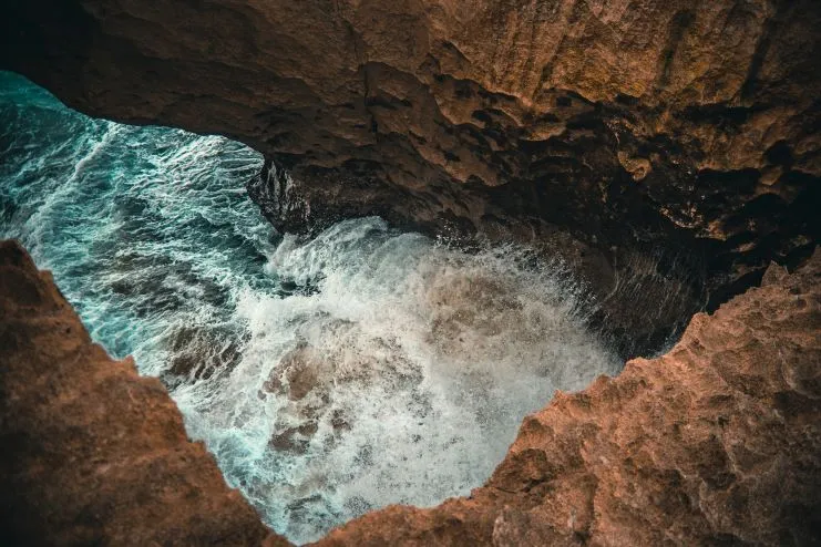
- Pozo de Jacinto. A pit cave near Jobos, wrapped in local folklore.
- Montones. One of the Isabela stops in the Tourism Company’s Voy Turistiendo passport campaign, along with the Guajataca Tunnel and Mabodamaca.
- Shacks. Its official name is Bajura beach.
- Middles. Where Isabela holds a yearly surf contest.
- Villa Pesquera and La Princesa. Two more names on the town’s list; La Princesa is known for its blowhole.
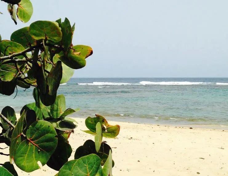
For a beach-by-beach rundown, read our Isabela beaches guide. Surfers should also see the best surf spots in Puerto Rico.
Inland: forest, caves and an old rail tunnel
Isabela is unusual for a beach town. Behind the coast are hills that pass 1,000 feet, plus rivers, caves and mangroves.
- Guajataca State Forest. The DRNA manages about 2,289 acres of karst here, protected since 1943. It has more than 44 km of trails, the most of any state forest in Puerto Rico, and the Cueva del Viento cave. The entrance is on PR-446.
- Guajataca Tunnel. The American Railroad Co. dug this tunnel around 1904 to carry the island’s railway between Isabela and Quebradillas, crossing the Guajataca River canyon. Puerto Rico declared it a historic monument in 2000.
- La Cara del Indio. A sculpture whose name means “the Indian’s face,” on the town’s list of landmarks; see our Cara del Indio page.
More ideas, ranked, are in our things-to-do list for Isabela.
What Isabela is known for
Surf comes first, but the town has two other claims. The “Garden of the Northwest” nickname comes from the wildflowers along its roads. The “town of leaf cheeses” refers to queso de hoja, a fresh white cheese wrapped in banana leaf.
Where to stay, eat and book in Isabela
Most visitors base themselves near the coast, close to Jobos and the beach road. Our directory lists Isabela businesses with their addresses and contact details:
- Places to stay in Isabela: hotels, guesthouses, a parador and vacation rentals.
- Isabela restaurants and bars: restaurants, bars and cafés around town and along the coast.
- Planning your days? Our things-to-do list for Isabela and Isabela beaches guide cover the rest.
Own a hotel, restaurant or business in Isabela? If your business is listed, you can claim it with a free account. There is no password: you sign in with your email and a one-time code, then check your details and keep the page current from your account. Not listed yet? Add your business.
Is Isabela worth visiting?
Yes, if you want a west-coast base with real surf, short airport transfers and inland hiking in the same week. The one thing it lacks is a bioluminescent bay. The nearest of Puerto Rico’s bioluminescent bays is La Parguera, in Lajas on the southwest coast.
Isabela FAQ
Can you walk around Isabela?
Only in pieces. The Jobos strip and the town center work on foot, but they are 7 km apart, and the forest and the other beaches need a car.
Is Isabela a good base for the west coast?
Yes. BQN is about 12 minutes from Jobos, and Rincón is under an hour south by car.
Is Jobos Beach safe to swim?
Only on calm days. Signs warning about its dangerous currents went up in early 2021.
How far is Isabela from San Juan?
About 126 km (78 miles) by road from the San Juan airport (SJU) to the town center. That is roughly 1 hour 50 minutes with no traffic, so plan on two hours or more if you leave the metro area at a busy time.
How far is Isabela from Aguadilla?
Very close. Aguadilla’s BQN airport is about 15 km (22 minutes) from Isabela’s town plaza and about 8 km (12 minutes) from Jobos Beach.
Plan your Isabela trip
- Isabela beaches, from surf breaks to calmer swimming spots
- Things to do in Isabela
- Is Isabela safe for tourists?
- Where to eat and where to stay in Isabela
- Surfing in Puerto Rico
- Nearby: Aguadilla and Rincón
Sources we checked
Checked in October 2026. Where a fact could not be confirmed against a primary source, we removed it or said so.
Originally published on PuertoRico.com (2022-10-10). Reviewed and updated October 2026: facts were checked against the sources above.