
The short version
- NotiCel reports the NWS expects slow-moving showers and thunderstorms on Saturday and Sunday afternoons mainly over the interior, north and east of Puerto Rico
- Primera Hora indicates a system of low pressure and trough north of Hispaniola will favor abundant tropical moisture with 2.00 to 2.30 inches of precipitable water
- Metro Puerto Rico indicates a 70 percent chance of rain with accumulations between 0.5 and 0.75 inches and high risk of dangerous rip currents on northern and eastern beaches
- NotiCel reports maximum temperature near 83 degrees Fahrenheit on Saturday with an 80 percent rain chance and 1 to 2 inches of accumulation possible
Unstable pattern to continue
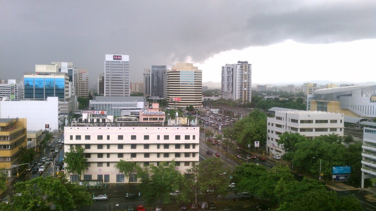
The National Weather Service in San Juan has forecast continued unstable weather for Puerto Rico this weekend. According to NotiCel, a high pressure area south of Puerto Rico and a weak low pressure area to the northeast will favor west-southwest winds with little variation in direction and speed through the atmosphere. Winds moving the showers will be light at 5 to 10 knots, allowing thunderstorms to linger over the same communities.
On Saturday, scattered showers and thunderstorms are expected during the morning, followed by additional showers and a chance of thunder after midday, NotiCel reported. The probability of rain is 80 percent with possible accumulations of 1 to 2 inches. Primera Hora reported that showers during the morning will affect southern and western sectors, with new development along the Cordillera Central in the afternoon due to daytime heating and sea breezes. Winds from the west-southwest at 5 to 15 knots will push precipitation toward north-central, northeast and eastern areas, including the San Juan metropolitan area.
Also on PuertoRico.com: Culebra travel guide
Flooding and marine hazards
Primera Hora reported that the high moisture levels could lead to intense showers moving slowly, causing ponding on roads, urban and small stream flooding, and rapid rises in river levels. Because grounds remain saturated from recent rains, the risk of flash flooding and landslides could increase, especially in mountainous areas. Thunderstorms could also produce waterspouts over coastal waters of Puerto Rico and the U.S. Virgin Islands.
Metro Puerto Rico reported that the unstable conditions will extend through Sunday. A northeast swell will raise the risk of dangerous rip currents to high on beaches of the north and east during the weekend. NotiCel added that from late Saturday into Sunday a weak north to northeast swell will increase waves to 3 to 5 feet in Atlantic waters, with the highest rip current risk on Sunday for beaches north of Puerto Rico and in Culebra.
Where the sources differ
All three sources agree that a trough and low pressure system north of Hispaniola are causing an unstable, moist pattern that will produce afternoon showers and thunderstorms mainly over the Cordillera Central, north-central, northeast and east of Puerto Rico, including San Juan, through Sunday. NotiCel and Primera Hora describe light west-southwest winds allowing slow storm movement and possible lingering over communities. On rainfall amounts, NotiCel reports an 80 percent chance with 1-2 inches possible on Saturday while Metro Puerto Rico reports a 70 percent chance with 0.5-0.75 inch accumulations. Primera Hora and Metro mention high atmospheric moisture; Primera Hora alone warns of flash flooding, landslides and waterspouts. All note elevated marine hazards but only NotiCel and Metro explicitly mention high rip current risk on northern and eastern beaches.
What the reports do not say
The reports do not specify expected rainfall totals for Sunday or provide updated probabilities for that day. They do not detail which specific towns face the highest risk of flash flooding or landslides, nor do they mention any watches or warnings issued by authorities. The articles also do not address potential impacts on infrastructure, power outages or official responses from emergency management agencies.
Sources
Every link below was opened and checked when this story was published. Official means a government body, agency or the organization itself; Reporting means a news outlet.
- Reporting Meteorología pronostica una tarde lluviosa para el este, norte e interior de la Isla
- Reporting Más aguaceros y tronadas para este sábado: ¿qué zonas de Puerto Rico podrían recibir más lluvia?
- Reporting Prevén otra tarde lluviosa en Puerto Rico por la influencia de una vaguada
How we checked this
NotiCel, Primera Hora and Metro Puerto Rico each based their articles on forecasts from the National Weather Service office in San Juan. Details on wind speeds, exact rain probabilities and accumulation ranges rest on single sources, with NotiCel providing the most specific temperature and overnight forecasts.
Compiled by the PuertoRico.com News Desk from the reports and statements listed above, and checked against them before publishing. It does not include original interviews. Spot an error? Email support@puertorico.com with a link to this story.
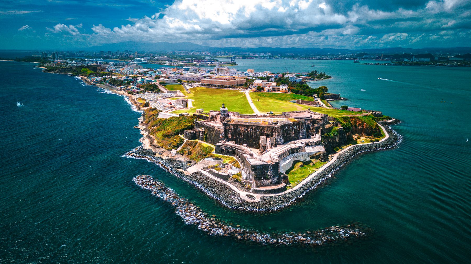 Nils Huenerfuerst / Wikimedia Commons · CC BY 4.0
PuertoRico.com is free, and readers like you keep it that way.
The PuertoRico.com newsroom checks every story against its sources and publishes it free. If this one helped, a contribution of any size keeps the next one free too.
Secure checkout by Stripe: card, Apple Pay, Google Pay or Link.
One payment, nothing to sign up for.
Contributions go to Puerto Rico.com, LLC. They are not charitable donations and are not tax-deductible. Payments are processed by Stripe.
Thank you for keeping PuertoRico.com free.
Your contribution went through. It helps pay for the next story.
Contributions go to Puerto Rico.com, LLC. They are not charitable donations and are not tax-deductible. Payments are processed by Stripe.