
Quick answer
- Region: northeastern Caribbean, east of Hispaniola (Dominican Republic / Haiti) and west of the Virgin Islands.
- Main island: about 110 miles (177 km) east–west and 40 miles (65 km) north–south.
- Status: unincorporated territory of the United States. See Is Puerto Rico part of the US?
On the map
Puerto Rico is an archipelago in the northeastern Caribbean Sea. The main island lies east of the Dominican Republic across the Mona Passage and west of the Virgin Islands. It sits where the Greater Antilles meet approaches to the Lesser Antilles.
Open our interactive map of Puerto Rico for all 78 municipalities, 2020 Census population and drive times from San Juan.
How big is it?
The main island is roughly 110 miles (177 km) long and 40 miles (65 km) wide, with a land area of about 3,424 square miles (8,868 km²). About 60% of the main island is mountainous, dominated by the Cordillera Central. Vieques and Culebra are separate island municipalities to the east; Mona and other western islands belong to Mayagüez.
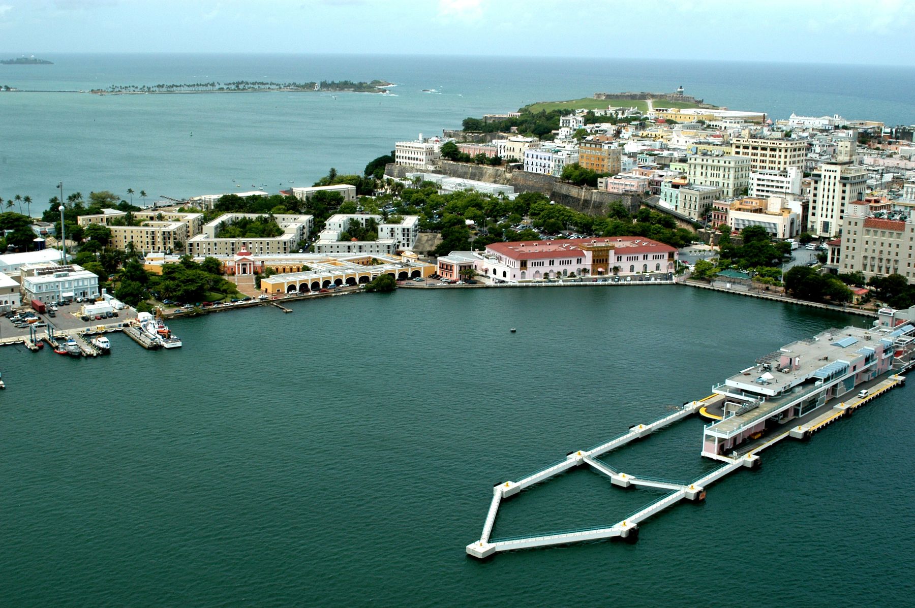
Capital and gateway
The capital is San Juan on the northeast coast. Most visitors arrive at Luis Muñoz Marín International Airport (SJU) in neighboring Carolina.
Time zone
Atlantic Standard Time (AST, UTC−4) year-round. Details: Puerto Rico time zone.
Frequently asked questions
Where is Puerto Rico located?
In the northeastern Caribbean, east of the Dominican Republic and west of the Virgin Islands.
Is Puerto Rico in the United States?
It is an unincorporated U.S. territory. People born there are U.S. citizens. See our status guide.
How do I see Puerto Rico on a detailed map?
Use our interactive municipality map at /map.
Sources we checked
Checked in October 2026. Where a fact could not be confirmed against a primary source, we removed it or said so.
Originally published on PuertoRico.com (2026-10-28). Reviewed and updated October 2026: facts were checked against the sources above.