Increased chance of showers and thunderstorms forecast for Puerto Rico
The National Weather Service in San Juan warned of higher potential for heavy rain, strong thunderstorms and localized flooding this Sunday afternoon and Monday, mainly across the island's interior and northern areas.
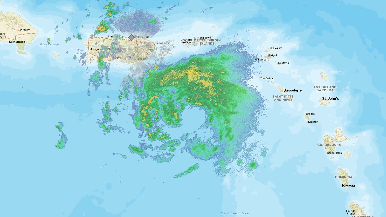 File photo
The short version
- El Vocero reported that scattered showers are possible during the early morning mainly in east and southeast wind-exposed areas with a 50 percent chance of rain
- Primera Hora and El Vocero both said a mid- to upper-level low northeast of the region will weaken high pressure and favor afternoon and evening showers and thunderstorms on Sunday and Monday
- The National Weather Service updated its hazardous weather outlook to reflect increased potential for strong thunderstorms and localized flooding according to both outlets
- Moderate rip current risk remains for beaches on the north coast of Puerto Rico, Culebra and St. Croix El Vocero reported
Forecast details
Puerto Rico will see an increase in the potential for showers and thunderstorms during the afternoon of Sunday, Oct. 18, and Monday, according to the National Weather Service (NWS) in San Juan. El Vocero reported that a low-pressure system in the mid and upper levels of the atmosphere located northeast of the region will weaken the influence of a high-pressure area and favor the development of precipitation during the afternoons and evenings of both days.
The combination of added moisture, daytime heating and wind convergence could generate more intense showers and strong thunderstorms in some areas, particularly over the interior and northern sectors of the island. Weak steering winds may cause rain systems to move slowly or redevelop over the same sectors, raising the potential for significant rainfall accumulations and localized flooding in susceptible zones, both outlets reported. Primera Hora reported that early-morning passing showers are possible mainly in areas exposed to east and southeast winds.
Also on PuertoRico.com: San Juan travel guide
Monday outlook and risks
The rainy pattern is expected to continue on Monday with conditions again favorable for the development of showers and thunderstorms during the afternoon and evening, mainly over the interior and northern parts of Puerto Rico. The NWS indicated it updated its hazardous weather outlook to reflect the higher potential for thunderstorms and flooding on both days, according to El Vocero and Primera Hora.
The potential for flooding will depend on the intensity of the rain and how long it remains over any one area. Both reports noted that if showers persist over the same sectors, enough rain could accumulate to cause localized flooding. A moderate risk of rip currents is also in effect for beaches along the north coast of Puerto Rico, Culebra and St. Croix.
Where the sources differ
Both El Vocero and Primera Hora agree on the overall forecast, the cause being a mid- to upper-level low northeast of the region, the timing of stronger activity in the afternoons and evenings of Sunday and Monday, the main areas affected being the interior and north, and the NWS update to its hazardous weather outlook. El Vocero provided additional details on temperatures, wind speeds, a specific 50 percent rain chance and the exact moderate rip current risk areas, while Primera Hora focused more on the possibility of strong thunderstorms and the dependency of flooding risk on rainfall duration and location.
What the reports do not say
The reports do not provide specific rainfall accumulation amounts expected, the exact times when the strongest thunderstorms might occur, whether any flood watches or warnings have been issued, or what actions residents in flood-prone areas should take. They also do not mention any expected impacts on the US Virgin Islands beyond the rip current risk for St. Croix.
Sources
Every link below was opened and checked when this story was published. Official means a government body, agency or the organization itself; Reporting means a news outlet.
- Official Aumenta el potencial de lluvias y tronadas este domingo
- Reporting Aumenta el potencial de lluvias y tronadas este domingo
- Reporting Lluvias y tronadas pudieran afectar a Puerto Rico este domingo
How we checked this
El Vocero and Primera Hora both based their stories on the National Weather Service forecast for Puerto Rico. Details on temperatures, winds and the rip current risk rest solely on El Vocero.
Compiled by the PuertoRico.com News Desk from the reports and statements listed above, and checked against them before publishing. It does not include original interviews. Spot an error? Email support@puertorico.com with a link to this story.